


MoU was signed on August 27 for use of LiDAR surveys, GIS Mapping, Remote Sensing, Ground Penetrating Radar (GPR) and other technologies to help locate structures that may have been concealed by vegetation overgrowth
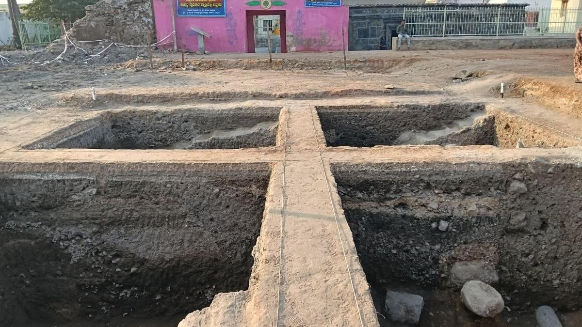
LiDAR survey to look for Lakkundi’s hidden monuments
MoU was signed on August 27 for use of LiDAR surveys, GIS Mapping, Remote Sensing, Ground Penetrating Radar (GPR) and other technologies to help locate structures that may have been concealed by vegetation overgrowth
About the Author

Previous Post
Next Post
Leave a Reply
Latest News

Stay Connected
Categories
Business Health India Politics Science Sports Technology Uncategorized World
Tags
About the Author

AF themes
Easy WordPress Websites Builder: Versatile Demos for Blogs, News, eCommerce and More – One-Click Import, No Coding! 1000+ Ready-made Templates for Stunning Newspaper, Magazine, Blog, and Publishing Websites.

Search the Archives
Access over the years of investigative journalism and breaking reports
You May Have Missed
